Bharath GNSS: Empowering Agriculture and Defence Drones with Precision Navigation
In today’s fast-evolving drone ecosystem, navigation accuracy is the backbone of both agriculture drones and defence UAVs. The success of aerial spraying, crop mapping, surveillance, and reconnaissance relies on how precisely a drone can position itself. This is where Drone GNSS (Global Navigation Satellite System) becomes a game-changer, offering Made in India navigation technology designed to meet the toughest requirements of agriculture and defence applications.
What is GNSS and Why It Matters for Drones?
GNSS stands for Global Navigation Satellite System, a network of satellites that transmit signals to determine the position, velocity, and time of receivers. While GPS (United States), GLONASS (Russia), Galileo (EU), and BeiDou (China) are globally known, India has also developed NavIC (Navigation with Indian Constellation) for regional accuracy.
For drones, GNSS ensures:
- Precision navigation for automated missions.
- Waypoint-based flight planning with minimal error.
- Safe return-to-home (RTH) features even in GPS-denied areas.
- Reduced drift in hover and mapping missions.
Without reliable GNSS, drones risk inaccurate spraying, poor mapping data, or compromised defence operations.
Bharath GNSS in Agriculture Drones
India’s agriculture sector is rapidly adopting farming drones for spraying pesticides, fertilizers, and mapping farmlands. However, for these drones to function efficiently, they need centimeter-level accuracy in navigation.
Bharath GNSS offers:
- Precision spraying: Ensures pesticides or fertilizers are applied only where needed, reducing waste.
- Geo-tagging & crop mapping: Accurate field data for better resource management.
- Autonomous operations: Farmers can operate large fleets with minimal effort.
- Cost efficiency: Reduces overuse of chemicals, fuel, and manpower.
This directly contributes to higher yield, lower costs, and sustainable agriculture practices in India.
Bharath GNSS in Defence Drones
Defence drones operate in complex environments where accuracy and reliability are non-negotiable. From border surveillance to tactical reconnaissance and logistics delivery, drones must withstand jamming, spoofing, and harsh weather conditions.
Bharath GNSS provides:
- Anti-jamming & anti-spoofing capabilities to secure signals.
- Multi-constellation support (GPS, GLONASS, NavIC, Galileo) for redundancy.
- Precise target tracking in surveillance and reconnaissance.
- Reliable navigation in GPS-denied environments.
By integrating indigenous GNSS technology, India reduces dependency on foreign systems and enhances national security.
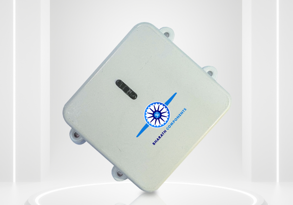
Key Features of Bharath GNSS
- Multi-constellation tracking: Supports GPS, GLONASS, NavIC, Galileo.
- High update rate: Ensures smooth drone navigation during high-speed flights.
- Rugged design: Built to withstand agricultural dust, heat, and defence-level conditions.
- Low power consumption: Extends drone battery life.
- Indigenous development: Designed and made in India for agriculture and defence requirements.
Why Bharath GNSS is the Future of Drones in India
- Atmanirbhar Bharat push: Reduces dependency on imported drone components.
- DGCA compliance: Meets regulatory standards for Indian drones.
- Versatility: Suitable for agriculture, defence, industrial mapping, and logistics drones.
- Scalability: Can be integrated with BLDC motors, ESCs, and autopilot systems for end-to-end UAV solutions.
As the agriculture drone industry grows and defence UAV demand increases, Bharath GNSS ensures Indian drones remain competitive globally.
Conclusion
Whether it is Precision Agriculture Navigation or border defence, drones are shaping the future of India. At the core of this transformation lies Bharath GNSS, offering a Made in India navigation solution that is rugged, efficient, and reliable. With multi-constellation tracking, anti-jamming features, and adaptability for both agriculture and defence, Bharath GNSS is truly “Built for the Sky, Made for India.”
Also read for more drone components please visit:- Bharath components
FAQs
Q1. What does GNSS stand for in drones?
GNSS stands for Global Navigation Satellite System, a network of satellites that provide precise positioning and navigation data to drones and UAVs.
Q2. How is GNSS different from GPS?
GPS (Global Positioning System) is one type of GNSS developed by the USA. GNSS refers to all satellite systems worldwide, including NavIC, GLONASS, Galileo, and BeiDou, making it more accurate and reliable.
Q3. Why is GNSS important for agriculture drones?
In agriculture, GNSS ensures precision spraying, accurate mapping, and waypoint-based autonomous flights—reducing wastage, saving costs, and improving crop yields.
Q4. How does GNSS support defence drones?
For defence, GNSS provides secure navigation, anti-jamming features, and high-accuracy positioning for surveillance, reconnaissance, and border patrol missions.
Q5. What is NavIC in GNSS technology?
NavIC (Navigation with Indian Constellation) is India’s regional navigation satellite system, offering highly accurate positioning and timing data, especially important for indigenous drones and defence use.
Q6. What makes Bharath GNSS unique?
Bharath GNSS supports multi-constellation signals (GPS, GLONASS, NavIC, Galileo), offers anti-interference resilience, and is designed in India for agriculture and defence UAVs.

Good One, Proud India